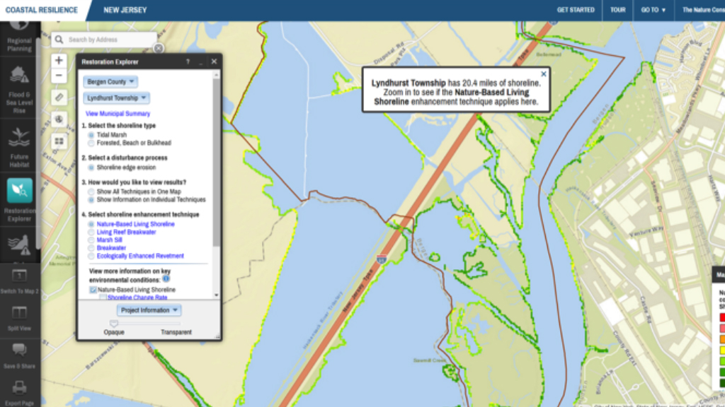
Tools are used to simplify complex relationships or models, convey a specific ecological or social concept, or used to compare different future condition scenarios.
Coastal Resilience Evaluation and Siting Tool; NOAA’s Digital Coast
This tool starts the process of identifying large public and private coastal and nearshore land areas ideal for restoration and analyzes their potential to provide maximum protection to human communities, while also restoring or improving habitat for fish and wildlife. The Coastal Resilience Evaluation and Siting Tool, or CREST, integrates data available at the national level, ensuring a consistent and contiguous data set for U.S. coastlines, while also informing resilience planning and project development in local communities. In territories where national data were not available, local data sets were used.
Features
- Compare sites and quantify results
- Identify potential locations for proposed project sites
- Access and visualize flood threat, community asset, and fish and wildlife habitat data
- Download all of the assessment data for further custom use
Coastal Hazard Wheel: Open Access Initiative
The Coastal Hazard Wheel is a universal coastal classification and management framework to address all the main coastal challenges simultaneously. It can be used as a complete coastal language and aims to boost climate change adaptation and bridge the gap between scientists, policy-makers and the general public. It is based on a comprehensive coastal classification system and functions as a key for classifying a particular coastal location, determining its hazard profile, identifying relevant management options and communicating coastal information. It can guide coastal master planning and improve hazard awareness and the automated Coastal Hazard Wheel App will provide increasingly detailed coastal classification and adaptation information for the world’s coastlines as various management projects are implemented.
More information
Coastline Change: Future Scenarios app
The Future Scenarios module of the Coastline Change app provides results from a modeling effort that allows users to explore how climate change combined with management actions over a 50-year time frame may affect the rates of shoreline change along a simulated Virginia barrier island system. In exploring the Future Scenarios module of the app, users can compare a variety of possible climate change and management scenarios and learn about potential long-term, large-scale coastline and barrier island evolution resulting from these changes.
